
Long Common (7.76 acres)
LET
Sloley Road, Worstead, NR28 9RS


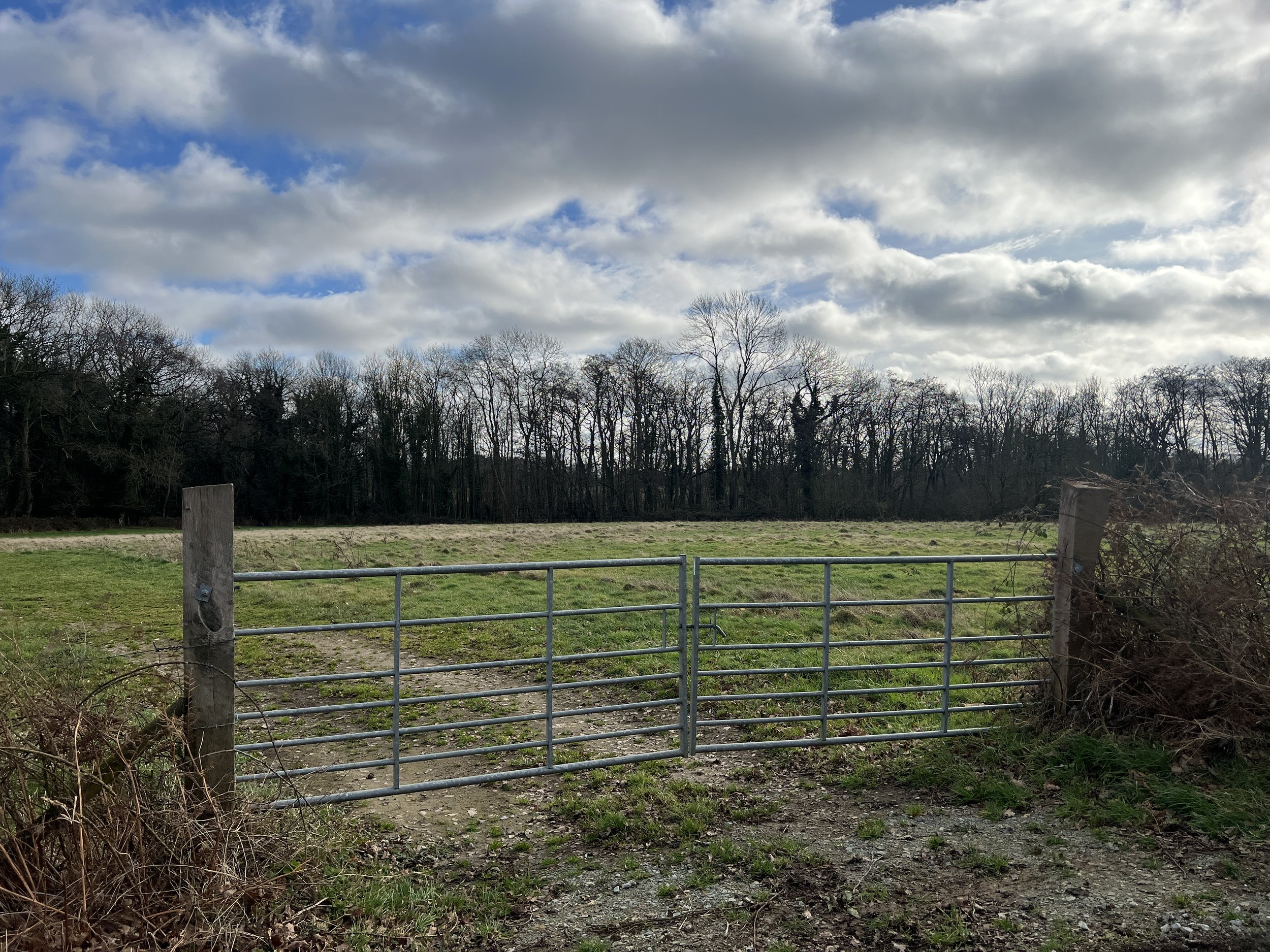
Long Common is a single parcel of grazing extending to 7.76 acres (3.14 hectares). Access is through a secure gated entrance off Sloley Road, to the south of Worstead Park. Mature hedgerows and trees line the boundaries. A water supply is available by arrangement with the landowner.
CURRENTLY AVAILABLE
Buttercup Meadow (5.29 acres)
LET
Sloley Road, Worstead, NR28 9RS

Corner Paddock is a single parcel of grazing extending to 5.29 acres (2.14 hectares). Access via Long Common, to the south of Worstead Park through a secure gated entrance onto Sloley Road. The land is fenced. A water supply is available by arrangement with the landowner.
Church Paddocks (1.90 acres)
LET
Barton Road, Smallburgh, NR12 9ND


Church Paddocks comprise two parcels of grazing land together extending to 1.90 acres (0.77 hectares). Access to the larger paddock is off Barton Road through a gated entrance. Access to the smaller paddock is through a gated entrance off the shared private drive serving the neighbouring cottages. Mature hedgerows line the boundaries. The land does not have a water supply.
Corner Paddock (5.86 acres)
LET
Mill Lane, Tunstead, NR12 8HP


Corner Paddock is a single parcel of grazing extending to 5.86 acres (2.37 hectares). Access is off Mill Lane, to the south-east of Worstead Park through a secure gated entrance. The land is fenced. A water supply is available by arrangement with the landowner.
Contact us
A member of our team would be pleased to answer any questions you have about renting on Worstead Estate. Please do not hesitate to get in touch using the contact details shown.
E: stay@worsteadestate.com
T: 01692 536226 (option 2)